
Cargando...
What can I do?
Find
Display
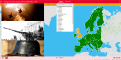
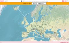
Learn with this interactive game the countries that formed the Europe of 1938 in moments before the Second World War. Choose from the proposed list each country that is pointing to the map.
Enlarge or ...
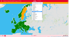
Impara con questo gioco interattivo i paesi che formarono l'Europa del 1914 in alcuni momenti prima della prima guerra mondiale. Scegli dall'elenco proposto ogni paese che punta alla mappa.
Ing ...
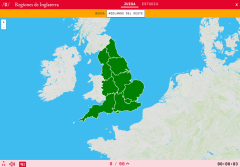
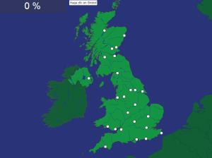
Would you know how to locate on the map the Regions of England which you have been asked for? You have to point out each exact location on the map.
Zoom in or zoom out the map in order to adjust it to ...
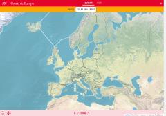
Would you know to locate on the map each coast you are being asked for? Try yourself with this interactive map of Didactalia.
Zoom in or zoom out the map in order to adjust it to the size of your deskt ...

Do you know what is the name of each Regions of England shown on the map? Test yourself with this interactive map, you have to choose the right answer from a list of several options.
Zoom in or zoom ou ...
Do you know what is the name of each coast shown on the map? You have to choose the right answer from a list with several possible options.
Zoom in or zoom out the map in order to adjust it to the size ...
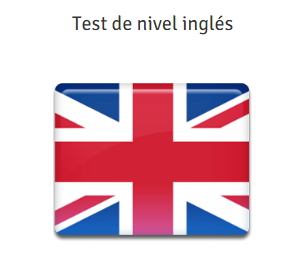
Comprueba qué nivel tienes de inglés con este test de Oxford House Language School. Incluye 25 preguntas escritas para que puedes evaluar tu nivel de acuerdo con el Marco Común Eu ...
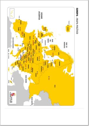
¿Sabes cuáles son las capitales de los países europeos? Con este mapa político de Europa puedes corroborar si las has aprendido correctamente.
¿Sabes situar en el mapa las principales ciudades de Gran Bretaña? Ponte a prueba con este divertido mapa interactivo.
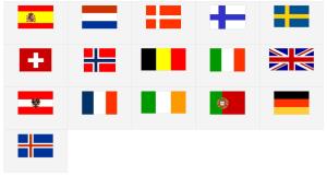
Pon a prueba tus conocimientos sobre las banderas de los países de Europa Occidental con este juego interactivo.
Add to Didactalia Arrastra el botón a la barra de marcadores del navegador y comparte tus contenidos preferidos. Más info...


